WORLD CONTINENTS MAP
This world continent map provides a clear representation of Earth's seven continents: North America, South America, Europe, Africa, Asia, Australia (Oceania), and Antarctica. Each continent is colored differently, making it easy to identify their relative locations and sizes. The map depicts major surrounding oceans, including the Pacific, Atlantic, Indian, Southern, and Arctic Oceans, as well as notable seas such as the Mediterranean, Caribbean, and Coral Seas. This visualization shows how the continents are distributed across different latitudes and hemispheres, reflecting their diverse climates and ecosystems.
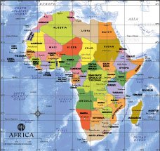
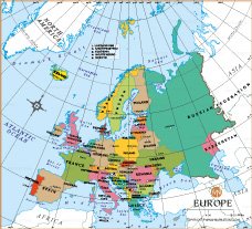
The map displays major geographic landmarks such as the Equator, the Tropics of Cancer and Capricorn, and the Arctic and Antarctic Circles. These lines help show the general climate zones that affect each continent: tropical regions around the equator, temperate regions in the middle latitudes, and polar regions near the Arctic and Antarctic Circles. For example, Africa is located mostly in the tropical zone, which contributes to its warm climate, while most of Europe falls in the temperate zone.
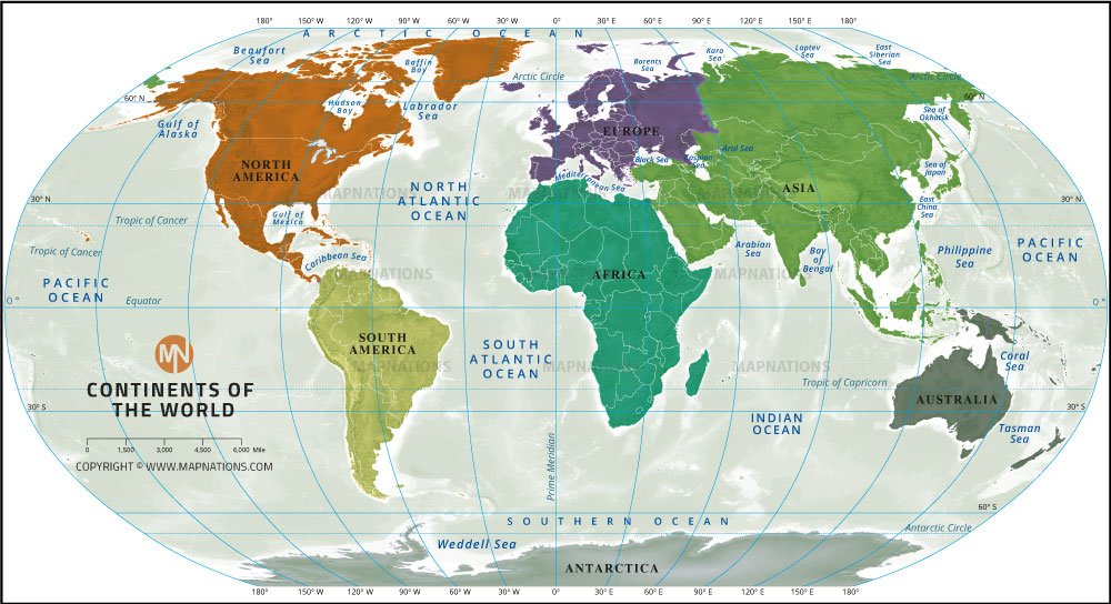
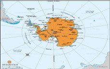
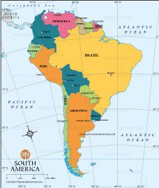
Each continent has distinct geographic and cultural characteristics. Asia, the largest continent, is home to a variety of landscapes ranging from deserts to mountains, while Africa is known for its vast deserts and rainforests. North America and South America have diverse ecosystems, from the Arctic tundra of Canada to the Amazon rainforest of Brazil. Australia, often referred to as Oceania, consists of many islands across the Pacific Ocean and has unique wildlife due to its isolation. Antarctica, the southernmost continent, is mostly covered in ice and has a unique, cold ecosystem.
This map serves as a valuable educational tool, providing a basic understanding of the world's continents and their positions relative to one another. It helps viewers understand the layout of the Earth, recognize different regions, and appreciate the diversity found across the continents.
