NORTH AMERICA MAP
The North America continent map shows the countries, regions, and geographic features of North America. Located between the Atlantic and Pacific Oceans, the continent includes three large nations: Canada, the United States, and Mexico, as well as smaller Central American nations such as Belize, Guatemala, and Costa Rica. Additionally, it shows island nations and territories in the Caribbean region such as Cuba, the Bahamas, Jamaica, and the Dominican Republic.
All country capitals such as Ottawa (Canada), Washington, D.C. (United States), and Mexico City (Mexico) are depicted, as well as notable bodies of water including the Gulf of Mexico, Hudson Bay, and the Bering Sea. Major regions such as Alaska, a state of the USA separated from the mainland, and Greenland, an autonomous territory within the Kingdom of Denmark, are also depicted.
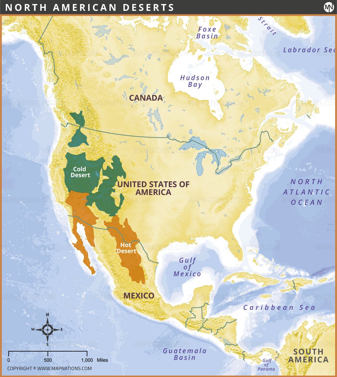
The map shows North America's diverse climate zones and ecosystems, from the Arctic regions in northern Canada and Greenland to the tropical climates of the Caribbean and Central America. The region has rich cultural and historical diversity, with influences of Indigenous, European, African, and Latin American heritage, as well as modern economic importance with major global cities, industries, and trade routes. This map provides a comprehensive overview of the political boundaries and geographic layout of North America, giving users a clear understanding of its spatial arrangement and neighboring water bodies.

How many countries are there in North America continent?
North America consists of 23 countries, including Canada, the United States, Mexico, seven Central American countries, and thirteen Caribbean islands.
Countries in North America
23
- U.S.A.
- Mexico
- Canada
- Guatemala
- Haiti
- Dominican Republic
- Cuba
- Honduras
- Nicaragua
- El Salvador
- Costa Rica
- Panama
- Puerto Rico
- Jamaica
- Trinidad and Tobago
- Belize
- Bahamas
- Guadeloupe
- Martinique
- Barbados
- Curaçao
- Saint Lucia
- Grenada
- Aruba
- Saint Vincent and the Grenadines
- Antigua and Barbuda
- United States Virgin Islands
- Cayman Islands
- Dominica
- Bermuda
- Greenland
- Saint Kitts and Nevis
- Turks and Caicos Islands
- Sint Maarten
- British Virgin Islands
- Caribbean Netherlands
- Saint Martin
- Anguilla
- Saint Barthélemy
- Saint Pierre and Miquelon
- Montserrat


