LONGEST HIGHWAY IN INDIA

This map shows NH 44, India's longest national highway, which stretches from Srinagar in Jammu and Kashmir to Kanyakumari in Tamil Nadu. Covering a distance of over 4,000 km, NH 44 connects various regions, passing through major cities such as Jammu, Delhi, Agra, Nagpur, Hyderabad, Bengaluru and Madurai. It passes through states such as Punjab, Haryana, Uttar Pradesh, Madhya Pradesh, Maharashtra, Telangana, Andhra Pradesh, Karnataka and Tamil Nadu. This highway plays a vital role in linking the north and south of India, promoting connectivity, trade and tourism. This detailed map shows its importance as a lifeline for the country's infrastructure and economy.
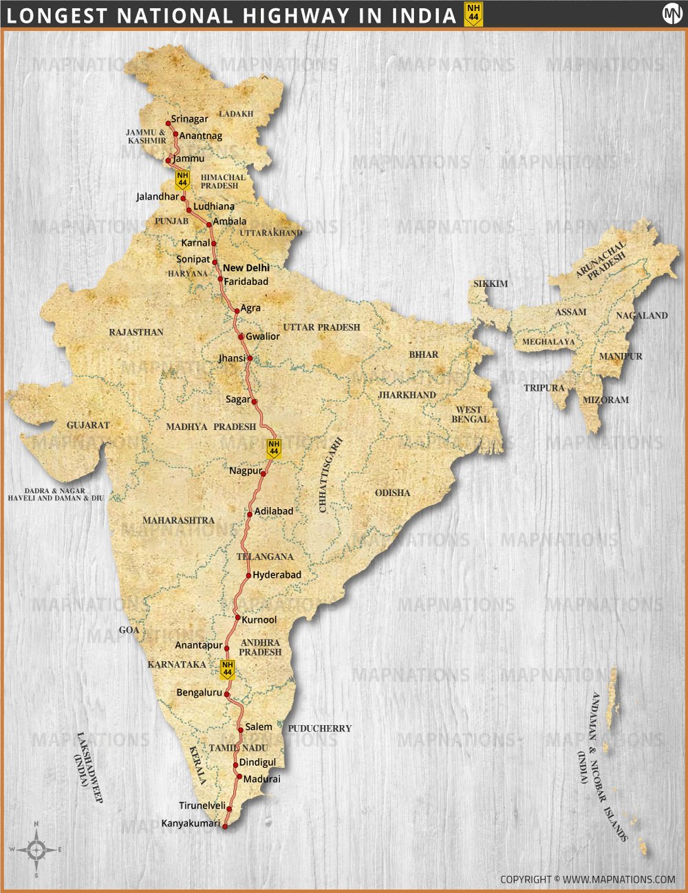
Longest Highway in India

Discover the map of NH 44, India's longest national highway, connecting Srinagar in the north to Kanyakumari in the south.

Size: 8.27" x 11.69" (WxH) inches

Resolution: 150 Dpi JPG

...
Vintage World Map

This map is a beautifully crafted, vintage-styled representation of the world, Printable size - 29"x18.5 inches (300 Dpi jpg).

...
Map of United States

Printable USA map-25" x 19" inches (300 Dpi jpg) , including state names, state capitals and state boundaries.

INDIA MAPS

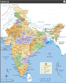
India Map
India Map
India Political Map
India Political Map
India Major Cities
India Major Cities
India River Map
India River Map
India Road Map
India Road Map
India Railway Map
India Railway Map
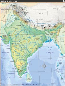
India Physical Map
India Physical Map
India Population Map
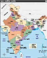
India Map in Hindi
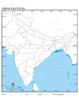
India Outline Map
India Outline Map
India Outline Map
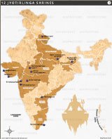
12 Jyotiirlinga Map
Longest Highway in India
Kumbh Mela Locations
Dedicated Freight Corridor Map
Decor Map